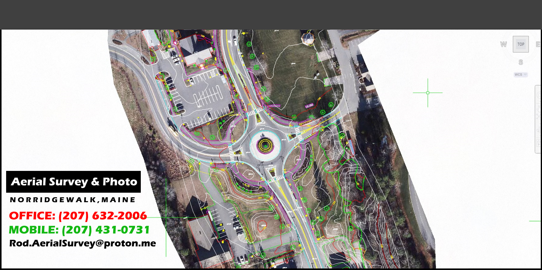
Current Clients & Mapping Projects
2024 CAI - Tech - Wales, MA, Town of
2024 CAI – Tech – Vinalhaven, ME, Town of
2024 Town of Cromwell, CT
2024 Revision Energy – Deblois Solar Farm
2023 Woodard & Curran – Fort Kent & Bridgton, ME
2023 Bath, City of - Landfill
2023 Woodard & Curran – Presque Isle & Tri Community Landfills
2023 Sevee & Maher – Juniper Ridge Landfill
2022 & 2024 Unitil Pipeline, 86 miles of pipeline - Massachusetts to Maine
2023 CAI – Tech - New Boston, NH, Town of
2023 Harpswell, ME, Town of
2023 Hoyle, Tanner & Assoc. – Jackman ME airport
2023 Tata & Howard - Edgecomb, ME, for Wiscasset Water District
2023 CAI – Tech - Sandwich, NH, Town of
2023 Pike Industries - Manchester, NH Regional Airport
2023 Waste management, Inc. – Crossroads Landfill
2022 Lewiston, ME - City wide Orthos of 1951, 1971, 1975 & 1994 Imagery
2021 Tata & Howard - Franklin, NH mapping for Engineering Dept.
2021 Wright–Pierce – Rangeley, ME orthos
2021 Haley Ward - Bangor International Airport
2021 Waters Construction – Killingly, CT Airport
2021 Casella Waste – Southbridge, MA Landfill
2021 Horizons Engineering – Thornton, NH
2021 Plisga & Day Land Surveyors – Woodland Mill
2021 Wright–Pierce - Winslow
2020 CAI – Tech - Durham, NH, Town of
2020 HNTB – Maine Turnpike Authority

